Gardens by the Bay
Interactive trail map
Trail profile
- Distance: 7.8 Km
- Elevation gain: 100 m
- Maximum elevation: 12 m
- Elevation loss: 100 m
- Minimum elevation: -9 m
About this trail
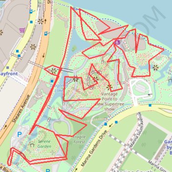
Name: Gardens by the Bay trail, distance, elevation, map, profile, GPS track
Coordinates: 1.27760 103.85951 1.28568 103.86746
Other hiking, mountain biking, running and outdoor activity trails
Click on a trail to view its statistics, map and profile.
Singapore East Coast Park
Distance: 12.6 Km • Elevation gain: 79 m • Maximum elevation: 22 m
Directions from Duck Tour Ramp to Marina Boulevard, Singapore
Distance: 105.3 Km • Elevation gain: 812 m • Maximum elevation: 51 m