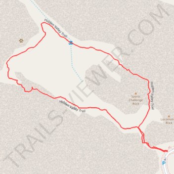
Hidden Valley Trail
Interactive trail map
Trail profile
- Distance: 1.7 Km
- Elevation gain: 39 m
- Maximum elevation: 1,302 m
- Elevation loss: 39 m
- Minimum elevation: 1,274 m
- Moving time: 37 m 9 s
- Moving speed: 2.7 Km/h
- Maximum speed: 7.0 Km/h
- Total time: 47 m 4 s
- Global speed: 2.1 Km/h
About this trail
Name: Hidden Valley Trail trail, distance, elevation, map, profile, GPS track
Start: Hidden Valley Trail, Riverside County, California, United States (34.01241 -116.16795)
End: Hidden Valley Trail, Riverside County, California, United States (34.01238 -116.16795)
Coordinates: 34.01238 -116.17369 34.01620 -116.16795
Other hiking, mountain biking, running and outdoor activity trails
Click on a trail to view its statistics, map and profile.
Hidden Valley Loop Trail in Joshua Tree National Park
United States > California > Riverside County
The Hidden Valley Loop Trail in Joshua Tree National Park offers a captivating journey through a landscape adorned with massive, weathered boulders and unique rock formations. As you traverse the loop, you'll encounter a diverse array of desert flora, including Joshua trees, pinyon pines, cacti and various…
Distance: 1.6 Km • Elevation gain: 39 m • Maximum elevation: 1,302 m