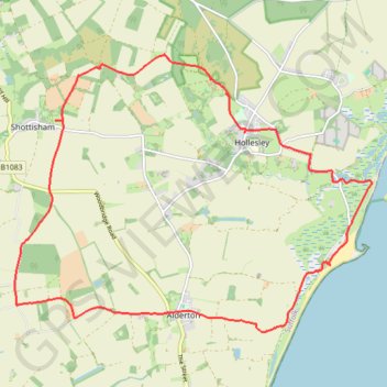
Shottisham - Aldertom - Shingle Street - Hollesley - Shottisham
- Distance: 18.2 Km
- Elevation gain: 92 m
- Maximum elevation: 24 m
- Elevation loss: 92 m
- Minimum elevation: -1 m
- Moving time: 4 h 20 m
- Moving speed: 4.2 Km/h
- Maximum speed: 5.3 Km/h
- Total time: 6 h 17 m
- Global speed: 2.9 Km/h
Interactive trail map
Trail profile
- Distance: 18.2 Km
- Elevation gain: 92 m
- Maximum elevation: 24 m
- Elevation loss: 92 m
- Minimum elevation: -1 m
- Moving time: 4 h 20 m
- Moving speed: 4.2 Km/h
- Maximum speed: 5.3 Km/h
- Total time: 6 h 17 m
- Global speed: 2.9 Km/h
About this trail
Name: Shottisham - Aldertom - Shingle Street - Hollesley - Shottisham trail, distance, elevation, map, profile, GPS track
Coordinates: 52.02195 1.37771 52.06098 1.45959
Other hiking, mountain biking, running and outdoor activity trails
Click on a trail to view its statistics, map and profile.
Tunstall Forest and Rendlesham Forest Loop from Bawdsey Manor
United Kingdom > England > Suffolk > East Suffolk > Bawdsey
Distance: 65.2 Km • Elevation gain: 403 m • Maximum elevation: 34 m