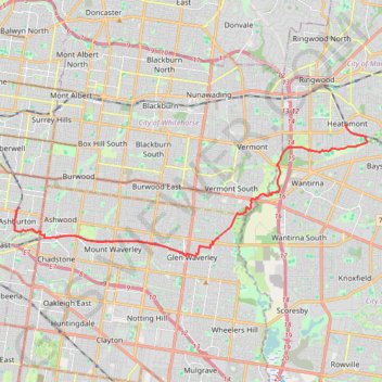
Ashburton - Glen Waverley - Koomba Park - Heathmont
Interactive trail map
Trail profile
- Distance: 23.7 Km
- Elevation gain: 229 m
- Maximum elevation: 136 m
- Elevation loss: 147 m
- Minimum elevation: 38 m
About this trail
Name: Ashburton - Glen Waverley - Koomba Park - Heathmont trail, distance, elevation, map, profile, GPS track
Coordinates: -37.88144 145.07930 -37.82951 145.25607
Other hiking, mountain biking, running and outdoor activity trails
Click on a trail to view its statistics, map and profile.
Jolimont Station to Ashburton along Yarra River, Gardiners Creek and Ferndale Trails
Australia > Victoria > Melbourne
Distance: 14.4 Km • Elevation gain: 115 m • Maximum elevation: 56 m
Ashburton to Mernda (cycle)
Australia > Victoria > Melbourne
Distance: 42.2 Km • Elevation gain: 392 m • Maximum elevation: 163 m