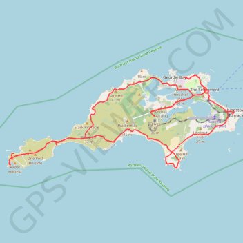
Rottnest Island Mountain Biking Loop
- Distance: 39.0 Km
- Elevation gain: 355 m
- Maximum elevation: 27 m
- Elevation loss: 351 m
- Minimum elevation: -1 m
- Moving time: 3 h 5 m
- Moving speed: 12.6 Km/h
- Maximum speed: 41.9 Km/h
- Total time: 4 h 11 m
- Global speed: 9.3 Km/h
Interactive trail map
Trail profile
- Distance: 39.0 Km
- Elevation gain: 355 m
- Maximum elevation: 27 m
- Elevation loss: 351 m
- Minimum elevation: -1 m
- Moving time: 3 h 5 m
- Moving speed: 12.6 Km/h
- Maximum speed: 41.9 Km/h
- Total time: 4 h 11 m
- Global speed: 9.3 Km/h
About this trail
Name: Rottnest Island Mountain Biking Loop trail, distance, elevation, map, profile, GPS track
Coordinates: -32.02586 115.45024 -31.98973 115.55333
Other hiking, mountain biking, running and outdoor activity trails
Click on a trail to view its statistics, map and profile.