Grays and Torreys Peak
Interactive trail map
Trail profile
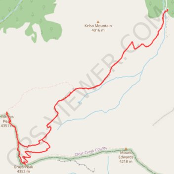
- Distance: 13.2 Km
- Elevation gain: 1,101 m
- Maximum elevation: 4,341 m
- Elevation loss: 1,101 m
- Minimum elevation: 3,430 m
About this trail
Name: Grays and Torreys Peak trail, distance, elevation, map, profile, GPS track
Coordinates: 39.63349 -105.82133 39.66112 -105.78424
Other hiking, mountain biking, running and outdoor activity trails
Click on a trail to view its statistics, map and profile.
Grays Peak and Torreys Peak via Grays Peak Trail in Arapaho National Forest
United States > Colorado > Clear Creek County
The hike to Grays and Torreys Peaks offers an accessible yet challenging adventure through Colorado’s alpine terrain. Beginning in a lush valley at the Stevens Gulch Trailhead, the trail quickly ascends above the tree line, presenting sweeping views of Kelso Mountain and the Continental Divide. Along the…
Distance: 12.8 Km • Elevation gain: 1,089 m • Maximum elevation: 4,338 m