Etiwanda Falls
Interactive trail map
Trail profile
- Distance: 5.6 Km
- Elevation gain: 261 m
- Maximum elevation: 870 m
- Elevation loss: 261 m
- Minimum elevation: 617 m
About this trail
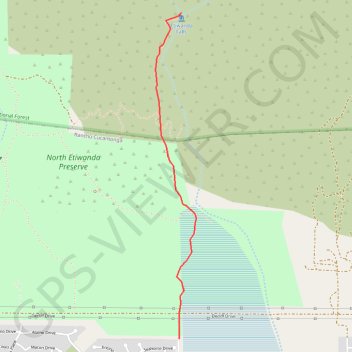
Name: Etiwanda Falls trail, distance, elevation, map, profile, GPS track
Coordinates: 34.16393 -117.52531 34.18630 -117.52191
Other hiking, mountain biking, running and outdoor activity trails
Click on a trail to view its statistics, map and profile.
Etiwanda Falls Trail in San Bernardino National Forest
United States > California > San Bernardino County > Rancho Cucamonga > Etiwanda
The Etiwanda Falls Trail, situated in the San Bernardino National Forest near Rancho Cucamonga, California, offers hikers a moderately challenging journey through diverse terrains. The path meanders through chaparral-covered foothills, providing occasional vistas of the surrounding mountains. Upon reaching the…
Distance: 5.2 Km • Elevation gain: 240 m • Maximum elevation: 868 m