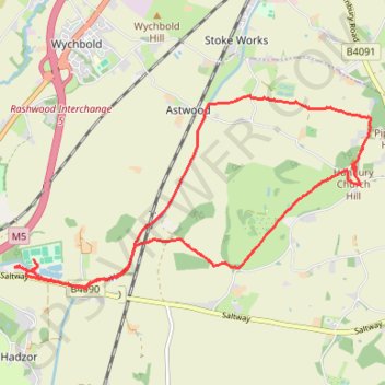
Hanbury Canal and Hanbury Church Hill walk
- Distance: 12.7 Km
- Elevation gain: 154 m
- Maximum elevation: 121 m
- Elevation loss: 155 m
- Minimum elevation: 38 m
- Moving time: 3 h 43 m
- Moving speed: 3.4 Km/h
- Maximum speed: 8.9 Km/h
- Total time: 5 h 20 m
- Global speed: 2.4 Km/h
Interactive trail map
Trail profile
- Distance: 12.7 Km
- Elevation gain: 154 m
- Maximum elevation: 121 m
- Elevation loss: 155 m
- Minimum elevation: 38 m
- Moving time: 3 h 43 m
- Moving speed: 3.4 Km/h
- Maximum speed: 8.9 Km/h
- Total time: 5 h 20 m
- Global speed: 2.4 Km/h
About this trail
Name: Hanbury Canal and Hanbury Church Hill walk trail, distance, elevation, map, profile, GPS track
Coordinates: 52.26466 -2.12719 52.28502 -2.06572