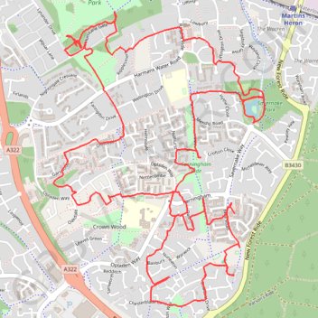
Bracknell Forest Cycling
- Distance: 9.6 Km
- Elevation gain: 50 m
- Maximum elevation: 94 m
- Elevation loss: 52 m
- Minimum elevation: 72 m
- Moving time: 1 h 27 m
- Moving speed: 6.5 Km/h
- Maximum speed: 19.9 Km/h
- Total time: 1 h 41 m
- Global speed: 5.7 Km/h
Interactive trail map
Trail profile
- Distance: 9.6 Km
- Elevation gain: 50 m
- Maximum elevation: 94 m
- Elevation loss: 52 m
- Minimum elevation: 72 m
- Moving time: 1 h 27 m
- Moving speed: 6.5 Km/h
- Maximum speed: 19.9 Km/h
- Total time: 1 h 41 m
- Global speed: 5.7 Km/h
About this trail
Name: Bracknell Forest Cycling trail, distance, elevation, map, profile, GPS track
Start: Worlds End Hill, Winkfield, Bracknell Forest, England, RG12 0XJ, United Kingdom (51.39745 -0.72880)
Coordinates: 51.39295 -0.74293 51.40725 -0.72645