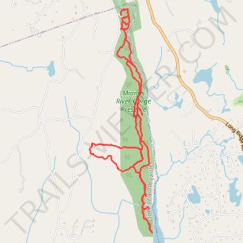
Mianus River Gorge Preserve Trails
- Distance: 10.0 Km
- Elevation gain: 228 m
- Maximum elevation: 169 m
- Elevation loss: 227 m
- Minimum elevation: 91 m
- Moving time: 2 h 3 m
- Moving speed: 4.9 Km/h
- Maximum speed: 8.6 Km/h
- Total time: 2 h 12 m
- Global speed: 4.5 Km/h
Interactive trail map
Trail profile
- Distance: 10.0 Km
- Elevation gain: 228 m
- Maximum elevation: 169 m
- Elevation loss: 227 m
- Minimum elevation: 91 m
- Moving time: 2 h 3 m
- Moving speed: 4.9 Km/h
- Maximum speed: 8.6 Km/h
- Total time: 2 h 12 m
- Global speed: 4.5 Km/h
About this trail
Name: Mianus River Gorge Preserve Trails trail, distance, elevation, map, profile, GPS track
Coordinates: 41.16111 -73.62606 41.18673 -73.61656
Other hiking, mountain biking, running and outdoor activity trails
Click on a trail to view its statistics, map and profile.