Clearwater River Loop
Morning Mountain Bike Ride
- Distance: 74.1 Km
- Elevation gain: 1,077 m
- Maximum elevation: 1,699 m
- Elevation loss: 1,077 m
- Minimum elevation: 1,166 m
- Moving time: 4 h 7 m
- Moving speed: 17.9 Km/h
- Maximum speed: 54.7 Km/h
- Total time: 4 h 38 m
- Global speed: 15.9 Km/h
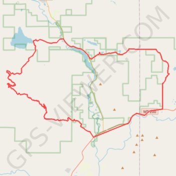
Interactive trail map
Trail profile
- Distance: 74.1 Km
- Elevation gain: 1,077 m
- Maximum elevation: 1,699 m
- Elevation loss: 1,077 m
- Minimum elevation: 1,166 m
- Moving time: 4 h 7 m
- Moving speed: 17.9 Km/h
- Maximum speed: 54.7 Km/h
- Total time: 4 h 38 m
- Global speed: 15.9 Km/h
About this trail
Name: Clearwater River Loop trail, distance, elevation, map, profile, GPS track
Start: Blanchard Creek Road, Missoula County, Montana, United States (46.99634 -113.39079)
End: Blanchard Creek Road, Missoula County, Montana, United States (46.99625 -113.39068)
Coordinates: 46.99514 -113.55113 47.11991 -113.24820