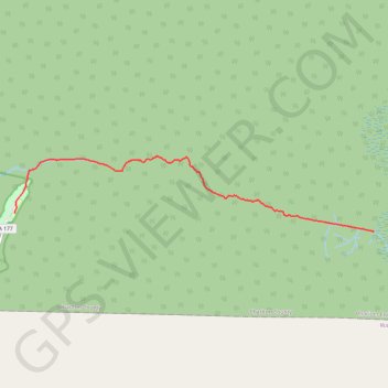
Canal Run to SFSP canoe trail
- Distance: 13.7 Km
- Elevation gain: 14 m
- Maximum elevation: 42 m
- Elevation loss: 18 m
- Minimum elevation: 33 m
- Moving time: 2 h 59 m
- Moving speed: 4.6 Km/h
- Maximum speed: 28.3 Km/h
- Total time: 3 h 52 m
- Global speed: 3.5 Km/h
Interactive trail map
Trail profile
- Distance: 13.7 Km
- Elevation gain: 14 m
- Maximum elevation: 42 m
- Elevation loss: 18 m
- Minimum elevation: 33 m
- Moving time: 2 h 59 m
- Moving speed: 4.6 Km/h
- Maximum speed: 28.3 Km/h
- Total time: 3 h 52 m
- Global speed: 3.5 Km/h
About this trail
Name: Canal Run to SFSP canoe trail trail, distance, elevation, map, profile, GPS track
Start: Canal Run, Charlton County, Georgia, United States (30.81530 -82.25304)
End: 44, State Highway 177, Charlton County, Georgia, United States (30.82032 -82.36462)
Coordinates: 30.81530 -82.36465 30.83552 -82.25293