RE SP380160
- Distance: 5.6 Km
- Elevation gain: 88 m
- Maximum elevation: 141 m
- Elevation loss: 94 m
- Minimum elevation: 80 m
- Moving time: 18 m 20 s
- Moving speed: 18.4 Km/h
- Maximum speed: 57.1 Km/h
- Total time: 59 m 28 s
- Global speed: 5.7 Km/h
Interactive trail map
Trail profile
- Distance: 5.6 Km
- Elevation gain: 88 m
- Maximum elevation: 141 m
- Elevation loss: 94 m
- Minimum elevation: 80 m
- Moving time: 18 m 20 s
- Moving speed: 18.4 Km/h
- Maximum speed: 57.1 Km/h
- Total time: 59 m 28 s
- Global speed: 5.7 Km/h
About this trail
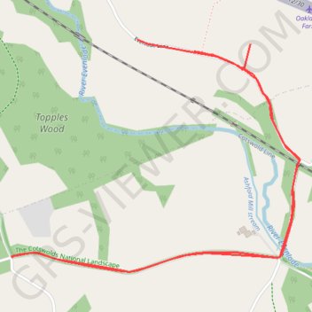
Name: RE SP380160 trail, distance, elevation, map, profile, GPS track
Coordinates: 51.83644 -1.45927 51.84587 -1.44030
Other hiking, mountain biking, running and outdoor activity trails
Click on a trail to view its statistics, map and profile.
Dean2023-311
United Kingdom > England > Oxfordshire > Oxford
Distance: 310.3 Km • Elevation gain: 3,366 m • Maximum elevation: 290 m