High Falls Trail
Interactive trail map
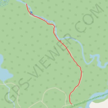
Trail profile
- Distance: 3.9 Km
- Elevation gain: 51 m
- Maximum elevation: 394 m
- Elevation loss: 51 m
- Minimum elevation: 359 m
About this trail
Name: High Falls Trail trail, distance, elevation, map, profile, GPS track
Coordinates: 45.19463 -78.15730 45.20801 -78.14682
Other hiking, mountain biking, running and outdoor activity trails
Click on a trail to view its statistics, map and profile.