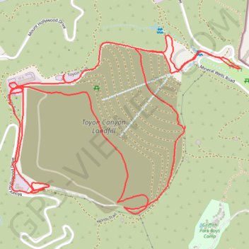
Toyon Canyon Landfill
Interactive trail map
Trail profile
- Distance: 5.6 Km
- Elevation gain: 205 m
- Maximum elevation: 333 m
- Elevation loss: 205 m
- Minimum elevation: 177 m
- Moving time: 1 h 16 m
- Moving speed: 4.4 Km/h
- Maximum speed: 9.5 Km/h
- Total time: 1 h 24 m
- Global speed: 4.0 Km/h
About this trail
Name: Toyon Canyon Landfill trail, distance, elevation, map, profile, GPS track
Coordinates: 34.14121 -118.30559 34.14791 -118.29515