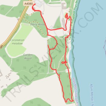
Walking around Plas Newydd, Ynys Môn
- Distance: 3.5 Km
- Elevation gain: 80 m
- Maximum elevation: 41 m
- Elevation loss: 80 m
- Minimum elevation: 3 m
- Moving time: 1 h 8 m
- Moving speed: 3.1 Km/h
- Maximum speed: 4.8 Km/h
- Total time: 1 h 54 m
- Global speed: 1.8 Km/h
Interactive trail map
Trail profile
- Distance: 3.5 Km
- Elevation gain: 80 m
- Maximum elevation: 41 m
- Elevation loss: 80 m
- Minimum elevation: 3 m
- Moving time: 1 h 8 m
- Moving speed: 3.1 Km/h
- Maximum speed: 4.8 Km/h
- Total time: 1 h 54 m
- Global speed: 1.8 Km/h
About this trail
Name: Walking around Plas Newydd, Ynys Môn trail, distance, elevation, map, profile, GPS track
Coordinates: 53.19578 -4.22085 53.20456 -4.21464