Worlingham
walking, worlingham
- Distance: 5.2 Km
- Elevation gain: 32 m
- Maximum elevation: 27 m
- Elevation loss: 32 m
- Minimum elevation: 11 m
- Moving time: 1 h 15 m
- Moving speed: 4.1 Km/h
- Maximum speed: 7.5 Km/h
- Total time: 1 h 19 m
- Global speed: 3.9 Km/h
Interactive trail map
Trail profile
- Distance: 5.2 Km
- Elevation gain: 32 m
- Maximum elevation: 27 m
- Elevation loss: 32 m
- Minimum elevation: 11 m
- Moving time: 1 h 15 m
- Moving speed: 4.1 Km/h
- Maximum speed: 7.5 Km/h
- Total time: 1 h 19 m
- Global speed: 3.9 Km/h
About this trail
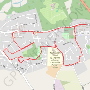
Name: Worlingham trail, distance, elevation, map, profile, GPS track
Coordinates: 52.44717 1.58344 52.45252 1.60115