Painted Canyon and Ladder Canyon Loop
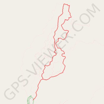
Interactive trail map
Trail profile
- Distance: 7.2 Km
- Elevation gain: 326 m
- Maximum elevation: 408 m
- Elevation loss: 334 m
- Minimum elevation: 187 m
About this trail
Name: Painted Canyon and Ladder Canyon Loop trail, distance, elevation, map, profile, GPS track
Start: Painted Canyon Road (Easy), Riverside County, California, United States (33.61924 -115.99888)
End: Painted Canyon Road (Easy), Riverside County, California, United States (33.61911 -115.99903)
Coordinates: 33.61911 -115.99903 33.64154 -115.98828
Other hiking, mountain biking, running and outdoor activity trails
Click on a trail to view its statistics, map and profile.
Ladder Canyon and Painted Canyon Loop
United States > California > Riverside County
Starting from the Painted Canyon trailhead, this loop enters the sandy wash of Big Painted Canyon, where the Mecca Hills reveal pale badland slopes, narrow walls and desert vegetation typical of the wilderness. The route then turns into Ladder Canyon, climbing through a tighter slot-like passage with rock…
Distance: 7.4 Km • Elevation gain: 327 m • Maximum elevation: 407 m
Painted Canyon Trail and Ladder Canyon Trail Loop in Mecca Hills Wilderness
United States > California > Riverside County
The Painted Canyon and Ladder Canyon Trail Loop offers a dynamic mix of adventure and scenery, from colorful rock walls to narrow slot canyons. The trail's iconic ladders allow hikers to navigate through steep sections, adding a touch of excitement as they climb through twisting pathways. At higher points,…
Distance: 7.6 Km • Elevation gain: 323 m • Maximum elevation: 408 m