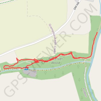
Barteliver Wood
Interactive trail map
Trail profile
- Distance: 1.3 Km
- Elevation gain: 36 m
- Maximum elevation: 66 m
- Elevation loss: 39 m
- Minimum elevation: 26 m
- Moving time: 33 m 39 s
- Moving speed: 2.2 Km/h
- Maximum speed: 5.7 Km/h
- Total time: 35 m 19 s
- Global speed: 2.1 Km/h
About this trail
Name: Barteliver Wood trail, distance, elevation, map, profile, GPS track
Coordinates: 50.29508 -4.91299 50.29687 -4.90590
Other hiking, mountain biking, running and outdoor activity trails
Click on a trail to view its statistics, map and profile.
Probus Trewithen Grampound
United Kingdom > England > Cornwall > Probus
Distance: 4.0 Km • Elevation gain: 47 m • Maximum elevation: 101 m