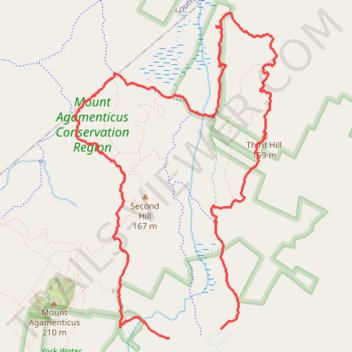
Old Mountain Loop via Porcupine Trail, Notch Trail, Great Marsh Trail and Third Hill Trail
Mount Agamenticus Conservation Region
- Distance: 9.4 Km
- Elevation gain: 167 m
- Maximum elevation: 153 m
- Elevation loss: 175 m
- Minimum elevation: 62 m
- Moving time: 2 h 11 m
- Moving speed: 4.3 Km/h
- Maximum speed: 11.2 Km/h
- Total time: 2 h 19 m
- Global speed: 4.0 Km/h
Interactive trail map
Trail profile
- Distance: 9.4 Km
- Elevation gain: 167 m
- Maximum elevation: 153 m
- Elevation loss: 175 m
- Minimum elevation: 62 m
- Moving time: 2 h 11 m
- Moving speed: 4.3 Km/h
- Maximum speed: 11.2 Km/h
- Total time: 2 h 19 m
- Global speed: 4.0 Km/h
About this trail
Name: Old Mountain Loop via Porcupine Trail, Notch Trail, Great Marsh Trail and Third Hill Trail trail, distance, elevation, map, profile, GPS track
Coordinates: 43.22077 -70.69008 43.24488 -70.66952