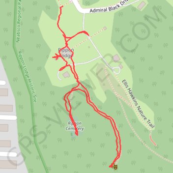
Rippon Lodge Historic Site
- Distance: 1.2 Km
- Elevation gain: 16 m
- Maximum elevation: 36 m
- Elevation loss: 15 m
- Minimum elevation: 25 m
- Moving time: 15 m 17 s
- Moving speed: 4.8 Km/h
- Maximum speed: 6.6 Km/h
- Total time: 18 m 6 s
- Global speed: 4.1 Km/h
Interactive trail map
Trail profile
- Distance: 1.2 Km
- Elevation gain: 16 m
- Maximum elevation: 36 m
- Elevation loss: 15 m
- Minimum elevation: 25 m
- Moving time: 15 m 17 s
- Moving speed: 4.8 Km/h
- Maximum speed: 6.6 Km/h
- Total time: 18 m 6 s
- Global speed: 4.1 Km/h
About this trail
Name: Rippon Lodge Historic Site trail, distance, elevation, map, profile, GPS track
Coordinates: 38.61243 -77.27855 38.61551 -77.27687