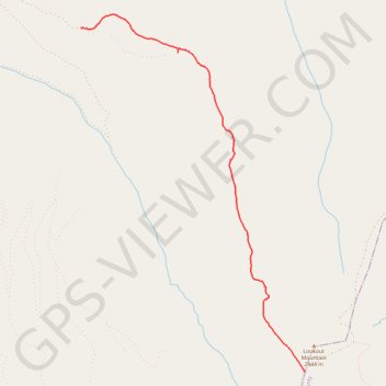
Sunshine Flat Trail #369
- Distance: 6.3 Km
- Elevation gain: 25 m
- Maximum elevation: 2,383 m
- Elevation loss: 459 m
- Minimum elevation: 1,947 m
- Moving time: 1 h 36 m
- Moving speed: 3.9 Km/h
- Maximum speed: 5.8 Km/h
- Total time: 2 h 3 m
- Global speed: 3.1 Km/h
Interactive trail map
Trail profile
- Distance: 6.3 Km
- Elevation gain: 25 m
- Maximum elevation: 2,383 m
- Elevation loss: 459 m
- Minimum elevation: 1,947 m
- Moving time: 1 h 36 m
- Moving speed: 3.9 Km/h
- Maximum speed: 5.8 Km/h
- Total time: 2 h 3 m
- Global speed: 3.1 Km/h
About this trail
Name: Sunshine Flat Trail #369 trail, distance, elevation, map, profile, GPS track
Start: Forest Road 548, Grant County, Oregon, United States (44.28585 -118.49662)
End: Forest Road 918, Grant County, Oregon, 97869, United States (44.32408 -118.53136)
Coordinates: 44.28584 -118.53136 44.32561 -118.49654