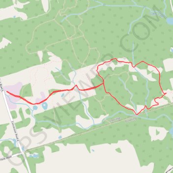
Glen Major Forest Loop Trail
Interactive trail map
Trail profile
- Distance: 5.8 Km
- Elevation gain: 130 m
- Maximum elevation: 338 m
- Elevation loss: 130 m
- Minimum elevation: 277 m
About this trail
Name: Glen Major Forest Loop Trail trail, distance, elevation, map, profile, GPS track
Coordinates: 44.00335 -79.10147 44.00995 -79.07531
Other hiking, mountain biking, running and outdoor activity trails
Click on a trail to view its statistics, map and profile.