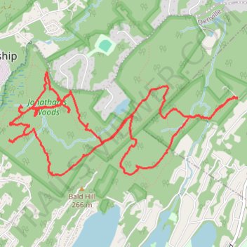
Jonathan's Woods Loop
- Distance: 11.2 Km
- Elevation gain: 198 m
- Maximum elevation: 234 m
- Elevation loss: 199 m
- Minimum elevation: 163 m
- Moving time: 3 h 16 m
- Moving speed: 3.4 Km/h
- Maximum speed: 6.0 Km/h
- Total time: 5 h 32 m
- Global speed: 2.0 Km/h
Interactive trail map
Trail profile
- Distance: 11.2 Km
- Elevation gain: 198 m
- Maximum elevation: 234 m
- Elevation loss: 199 m
- Minimum elevation: 163 m
- Moving time: 3 h 16 m
- Moving speed: 3.4 Km/h
- Maximum speed: 6.0 Km/h
- Total time: 5 h 32 m
- Global speed: 2.0 Km/h
About this trail
Name: Jonathan's Woods Loop trail, distance, elevation, map, profile, GPS track
Coordinates: 40.91907 -74.48213 40.92866 -74.45409