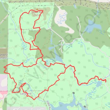
Thetis Lake Regional Park
Interactive trail map
Trail profile
- Distance: 13.2 Km
- Elevation gain: 346 m
- Maximum elevation: 218 m
- Elevation loss: 347 m
- Minimum elevation: 50 m
About this trail
Name: Thetis Lake Regional Park trail, distance, elevation, map, profile, GPS track
Coordinates: 48.47280 -123.49863 48.49280 -123.46460
Other hiking, mountain biking, running and outdoor activity trails
Click on a trail to view its statistics, map and profile.
Mount Work - Mount Stewart - Thetis Lake
Canada > British Columbia > Capital Regional District > Highlands
Distance: 20.2 Km • Elevation gain: 697 m • Maximum elevation: 436 m
BBF loop to the Skydeck in Nanaimo
Canada > British Columbia > Cowichan Valley Regional District > Area A (Mill Bay / Malahat) > Mill Bay
BBF loop to the Skydeck
Distance: 323.5 Km • Elevation gain: 6,222 m • Maximum elevation: 706 m