Gore Brook
- Distance: 1.6 Km
- Elevation gain: 12 m
- Maximum elevation: 75 m
- Elevation loss: 10 m
- Minimum elevation: 62 m
- Moving time: 21 m 48 s
- Moving speed: 4.4 Km/h
- Maximum speed: 7.7 Km/h
- Total time: 25 m 56 s
- Global speed: 3.7 Km/h
Interactive trail map
Trail profile
- Distance: 1.6 Km
- Elevation gain: 12 m
- Maximum elevation: 75 m
- Elevation loss: 10 m
- Minimum elevation: 62 m
- Moving time: 21 m 48 s
- Moving speed: 4.4 Km/h
- Maximum speed: 7.7 Km/h
- Total time: 25 m 56 s
- Global speed: 3.7 Km/h
About this trail
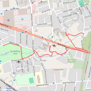
Name: Gore Brook trail, distance, elevation, map, profile, GPS track
Coordinates: 53.45894 -2.17466 53.46089 -2.16425
Other hiking, mountain biking, running and outdoor activity trails
Click on a trail to view its statistics, map and profile.
Morning Run
United Kingdom > England > Manchester
Distance: 10.5 Km • Elevation gain: 54 m • Maximum elevation: 99 m
Gorton Loop
United Kingdom > England > Manchester
Distance: 9.8 Km • Elevation gain: 53 m • Maximum elevation: 100 m