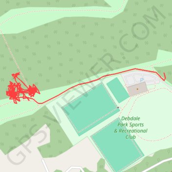
RE SK530630 2
- Distance: 2.2 Km
- Elevation gain: 44 m
- Maximum elevation: 135 m
- Elevation loss: 24 m
- Minimum elevation: 108 m
- Moving time: 55 m 58 s
- Moving speed: 2.3 Km/h
- Maximum speed: 5.2 Km/h
- Total time: 1 d 6 m
- Global speed: 0.1 Km/h
Interactive trail map
Trail profile
- Distance: 2.2 Km
- Elevation gain: 44 m
- Maximum elevation: 135 m
- Elevation loss: 24 m
- Minimum elevation: 108 m
- Moving time: 55 m 58 s
- Moving speed: 2.3 Km/h
- Maximum speed: 5.2 Km/h
- Total time: 1 d 6 m
- Global speed: 0.1 Km/h
About this trail
Name: RE SK530630 2 trail, distance, elevation, map, profile, GPS track
Coordinates: 53.16143 -1.20891 53.16208 -1.20395