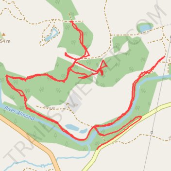
River Almond path at Dallick and connecting to other tracks
- Distance: 6.2 Km
- Elevation gain: 123 m
- Maximum elevation: 257 m
- Elevation loss: 131 m
- Minimum elevation: 191 m
- Moving time: 1 h 33 m
- Moving speed: 4.0 Km/h
- Maximum speed: 17.1 Km/h
- Total time: 1 h 41 m
- Global speed: 3.7 Km/h
Interactive trail map
Trail profile
- Distance: 6.2 Km
- Elevation gain: 123 m
- Maximum elevation: 257 m
- Elevation loss: 131 m
- Minimum elevation: 191 m
- Moving time: 1 h 33 m
- Moving speed: 4.0 Km/h
- Maximum speed: 17.1 Km/h
- Total time: 1 h 41 m
- Global speed: 3.7 Km/h
About this trail
Name: River Almond path at Dallick and connecting to other tracks trail, distance, elevation, map, profile, GPS track
Coordinates: 56.43614 -3.77249 56.44286 -3.75749