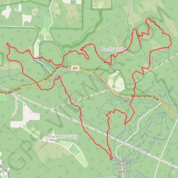
Kalamunda Circuit
Interactive trail map
Trail profile
- Distance: 20.0 Km
- Elevation gain: 340 m
- Maximum elevation: 366 m
- Elevation loss: 340 m
- Minimum elevation: 183 m
About this trail
Name: Kalamunda Circuit trail, distance, elevation, map, profile, GPS track
Coordinates: -31.98868 116.09895 -31.95565 116.14420
Other hiking, mountain biking, running and outdoor activity trails
Click on a trail to view its statistics, map and profile.
Kalamunda mtb green trails starting from camel farm
Distance: 12.5 Km • Elevation gain: 186 m • Maximum elevation: 314 m
01Bib_Kalamunda to Hewett Hill Campsite
01Bib_Kalamunda to Hewett Hill Campsite
Distance: 10.3 Km • Elevation gain: 286 m • Maximum elevation: 295 m
2021 Toodyay return via Kep
Distance: 229.9 Km • Elevation gain: 1,859 m • Maximum elevation: 357 m