Canal de l'Ourcq
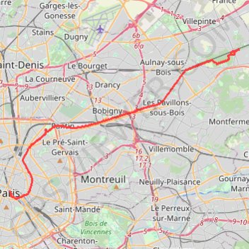
Interactive trail map
Trail profile
- Distance: 25.8 Km
- Elevation gain: 123 m
- Maximum elevation: 68 m
- Elevation loss: 141 m
- Minimum elevation: 30 m
- Moving time: 4 h 52 m
- Moving speed: 5.3 Km/h
- Maximum speed: 10.5 Km/h
- Total time: 6 h 34 m
- Global speed: 3.9 Km/h
About this trail
Name: Canal de l'Ourcq trail, distance, elevation, map, profile, GPS track
Coordinates: 48.84951 2.34975 48.94504 2.57379