Sunset Arch and Moonrise Arch Loop
Loop hike to Sunset Arch and Moonrise Arch from Coyote Gulch - Jacob Hamblin Trailhead via Sunset and Moonrise Arch Trail in the Grand Staircase-Escalante National Monument. #Hiking #Loop #Nature #Rock #Arch
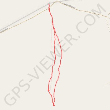
- Distance: 4.9 Km
- Elevation gain: 98 m
- Maximum elevation: 1,466 m
- Elevation loss: 98 m
- Minimum elevation: 1,368 m
Interactive trail map
Trail profile
- Distance: 4.9 Km
- Elevation gain: 98 m
- Maximum elevation: 1,466 m
- Elevation loss: 98 m
- Minimum elevation: 1,368 m
About this trail
Name: Sunset Arch and Moonrise Arch Loop trail, distance, elevation, map, profile, GPS track
Coordinates: 37.37298 -111.04871 37.39239 -111.04540