Chiquito Falls (Lyon Canyon Falls)
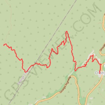
Interactive trail map
Trail profile
- Distance: 7.0 Km
- Elevation gain: 342 m
- Maximum elevation: 808 m
- Elevation loss: 211 m
- Minimum elevation: 513 m
About this trail
Name: Chiquito Falls (Lyon Canyon Falls) trail, distance, elevation, map, profile, GPS track
End: Chiquito Trail, Ortega Oaks, Orange County, California, 90000, United States (33.62051 -117.45560)
Coordinates: 33.61354 -117.45562 33.62407 -117.42671
Other hiking, mountain biking, running and outdoor activity trails
Click on a trail to view its statistics, map and profile.