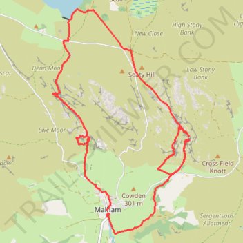
Riverside Path, Gordale Scar, Malham Tarn and Watlowes Loop
- Distance: 14.5 Km
- Elevation gain: 458 m
- Maximum elevation: 392 m
- Elevation loss: 451 m
- Minimum elevation: 192 m
- Moving time: 3 h 48 m
- Moving speed: 3.8 Km/h
- Maximum speed: 6.7 Km/h
- Total time: 4 h 45 m
- Global speed: 3.1 Km/h
Interactive trail map
Trail profile
- Distance: 14.5 Km
- Elevation gain: 458 m
- Maximum elevation: 392 m
- Elevation loss: 451 m
- Minimum elevation: 192 m
- Moving time: 3 h 48 m
- Moving speed: 3.8 Km/h
- Maximum speed: 6.7 Km/h
- Total time: 4 h 45 m
- Global speed: 3.1 Km/h
About this trail
Name: Riverside Path, Gordale Scar, Malham Tarn and Watlowes Loop trail, distance, elevation, map, profile, GPS track
Coordinates: 54.05743 -2.16777 54.09318 -2.13053
Other hiking, mountain biking, running and outdoor activity trails
Click on a trail to view its statistics, map and profile.