Roche Bonhomme
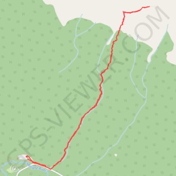
Interactive trail map
Trail profile
- Distance: 10.5 Km
- Elevation gain: 1,346 m
- Maximum elevation: 2,477 m
- Elevation loss: 1,347 m
- Minimum elevation: 1,149 m
About this trail
Name: Roche Bonhomme trail, distance, elevation, map, profile, GPS track
Start: Municipality of Jasper, Alberta, Canada (52.92104 -117.99806)
Coordinates: 52.91878 -117.99853 52.94690 -117.96314