Garden of Eden Trail Hike
- Distance: 6.8 Km
- Elevation gain: 125 m
- Maximum elevation: 57 m
- Elevation loss: 125 m
- Minimum elevation: 19 m
- Moving time: 1 h 54 m
- Moving speed: 3.5 Km/h
- Maximum speed: 18.2 Km/h
- Total time: 2 h 13 m
- Global speed: 3.0 Km/h
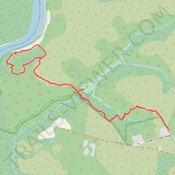
Interactive trail map
Trail profile
- Distance: 6.8 Km
- Elevation gain: 125 m
- Maximum elevation: 57 m
- Elevation loss: 125 m
- Minimum elevation: 19 m
- Moving time: 1 h 54 m
- Moving speed: 3.5 Km/h
- Maximum speed: 18.2 Km/h
- Total time: 2 h 13 m
- Global speed: 3.0 Km/h
About this trail
Name: Garden of Eden Trail Hike trail, distance, elevation, map, profile, GPS track
Start: Garden of Eden Trail, Liberty County, Florida, United States (30.45474 -84.97047)
End: Garden of Eden Trail, Liberty County, Florida, United States (30.45454 -84.97041)
Coordinates: 30.45454 -84.99090 30.46386 -84.97039