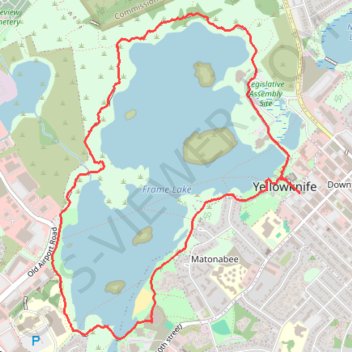
Yellowknife - Frame Lake
Interactive trail map
Trail profile
- Distance: 5.9 Km
- Elevation gain: 36 m
- Maximum elevation: 199 m
- Elevation loss: 36 m
- Minimum elevation: 185 m
About this trail
Name: Yellowknife - Frame Lake trail, distance, elevation, map, profile, GPS track
Coordinates: 62.44662 -114.40202 62.46259 -114.37579