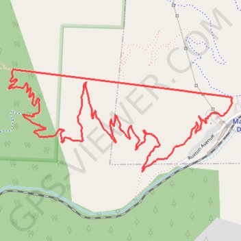
The Incline Loop
Interactive trail map
Trail profile
- Distance: 6.2 Km
- Elevation gain: 593 m
- Maximum elevation: 2,611 m
- Elevation loss: 593 m
- Minimum elevation: 2,025 m
About this trail
Name: The Incline Loop trail, distance, elevation, map, profile, GPS track
Start: The Incline, Manitou Springs, El Paso County, Colorado, 80829, United States (38.85686 -104.93233)
End: The Incline, Manitou Springs, El Paso County, Colorado, 80829, United States (38.85686 -104.93233)
Coordinates: 38.85285 -104.94779 38.85838 -104.93230
Other hiking, mountain biking, running and outdoor activity trails
Click on a trail to view its statistics, map and profile.
The Manitou Incline loop hike in Pike National Forest
United States > Colorado > El Paso County > Manitou Springs
The Incline is a thrilling challenge that gains about 2,000 feet in just a mile. As you ascend, you'll navigate steep steps and rugged terrain, but the panoramic views of Colorado Springs from the top are absolutely breathtaking and make every hard-earned step worth it. The descent via Barr Trail offers a…
Distance: 6.9 Km • Elevation gain: 624 m • Maximum elevation: 2,613 m