Anakie Gorge Loop - Nelsons Lookout
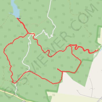
Interactive trail map
Trail profile
- Distance: 11.3 Km
- Elevation gain: 304 m
- Maximum elevation: 365 m
- Elevation loss: 308 m
- Minimum elevation: 191 m
- Moving time: 2 h 47 m
- Moving speed: 4.1 Km/h
- Maximum speed: 15.7 Km/h
- Total time: 3 h 1 m
- Global speed: 3.8 Km/h
About this trail
Name: Anakie Gorge Loop - Nelsons Lookout trail, distance, elevation, map, profile, GPS track
Coordinates: -37.86939 144.24152 -37.85278 144.27187