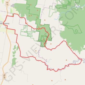
Flinders Peak - Undullah - Peak Crossing
Interactive trail map
Trail profile
- Distance: 54.6 Km
- Elevation gain: 934 m
- Maximum elevation: 404 m
- Elevation loss: 934 m
- Minimum elevation: 38 m
About this trail
Name: Flinders Peak - Undullah - Peak Crossing trail, distance, elevation, map, profile, GPS track
Coordinates: -27.87012 152.72865 -27.76626 152.88852
Other hiking, mountain biking, running and outdoor activity trails
Click on a trail to view its statistics, map and profile.