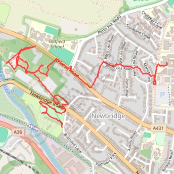
Newbridge P&R paths
- Distance: 3.5 Km
- Elevation gain: 59 m
- Maximum elevation: 58 m
- Elevation loss: 97 m
- Minimum elevation: 16 m
- Moving time: 59 m 20 s
- Moving speed: 3.5 Km/h
- Maximum speed: 10.3 Km/h
- Total time: 1 h 6 m
- Global speed: 3.1 Km/h
Interactive trail map
Trail profile
- Distance: 3.5 Km
- Elevation gain: 59 m
- Maximum elevation: 58 m
- Elevation loss: 97 m
- Minimum elevation: 16 m
- Moving time: 59 m 20 s
- Moving speed: 3.5 Km/h
- Maximum speed: 10.3 Km/h
- Total time: 1 h 6 m
- Global speed: 3.1 Km/h
About this trail
Name: Newbridge P&R paths trail, distance, elevation, map, profile, GPS track
Coordinates: 51.38780 -2.40818 51.39246 -2.39335
Other hiking, mountain biking, running and outdoor activity trails
Click on a trail to view its statistics, map and profile.
2024-03-30_10-35_Sat
United Kingdom > England > City of Bristol > Bristol
Distance: 21.4 Km • Elevation gain: 200 m • Maximum elevation: 59 m