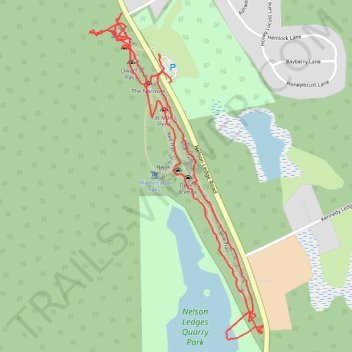
Nelson-Kennedy Ledges State Park
- Distance: 3.6 Km
- Elevation gain: 71 m
- Maximum elevation: 317 m
- Elevation loss: 70 m
- Minimum elevation: 296 m
- Moving time: 1 h 3 m
- Moving speed: 3.4 Km/h
- Maximum speed: 59.5 Km/h
- Total time: 1 h 13 m
- Global speed: 2.9 Km/h
Interactive trail map
Trail profile
- Distance: 3.6 Km
- Elevation gain: 71 m
- Maximum elevation: 317 m
- Elevation loss: 70 m
- Minimum elevation: 296 m
- Moving time: 1 h 3 m
- Moving speed: 3.4 Km/h
- Maximum speed: 59.5 Km/h
- Total time: 1 h 13 m
- Global speed: 2.9 Km/h
About this trail
Name: Nelson-Kennedy Ledges State Park trail, distance, elevation, map, profile, GPS track
Coordinates: 41.32119 -81.04185 41.33041 -81.03532