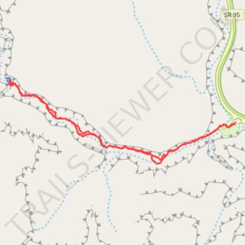
Hog Canyon Trail
- Distance: 3.7 Km
- Elevation gain: 136 m
- Maximum elevation: 1,306 m
- Elevation loss: 136 m
- Minimum elevation: 1,251 m
- Moving time: 58 m
- Moving speed: 3.9 Km/h
- Maximum speed: 6.3 Km/h
- Total time: 1 h 3 m
- Global speed: 3.5 Km/h
Interactive trail map
Trail profile
- Distance: 3.7 Km
- Elevation gain: 136 m
- Maximum elevation: 1,306 m
- Elevation loss: 136 m
- Minimum elevation: 1,251 m
- Moving time: 58 m
- Moving speed: 3.9 Km/h
- Maximum speed: 6.3 Km/h
- Total time: 1 h 3 m
- Global speed: 3.5 Km/h
About this trail
Name: Hog Canyon Trail trail, distance, elevation, map, profile, GPS track
Start: SR 95, Garfield County, Utah, United States (37.96264 -110.49140)
End: SR 95, Garfield County, Utah, United States (37.96266 -110.49134)
Coordinates: 37.96035 -110.50746 37.96498 -110.49134