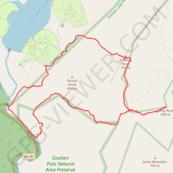
Goshen Pass Hiking via Jump Rock and Viewing Rock
- Distance: 13.3 Km
- Elevation gain: 728 m
- Maximum elevation: 930 m
- Elevation loss: 729 m
- Minimum elevation: 406 m
- Moving time: 3 h 46 m
- Moving speed: 3.5 Km/h
- Maximum speed: 11.6 Km/h
- Total time: 4 h 30 m
- Global speed: 2.9 Km/h
Interactive trail map
Trail profile
- Distance: 13.3 Km
- Elevation gain: 728 m
- Maximum elevation: 930 m
- Elevation loss: 729 m
- Minimum elevation: 406 m
- Moving time: 3 h 46 m
- Moving speed: 3.5 Km/h
- Maximum speed: 11.6 Km/h
- Total time: 4 h 30 m
- Global speed: 2.9 Km/h
About this trail
Name: Goshen Pass Hiking via Jump Rock and Viewing Rock trail, distance, elevation, map, profile, GPS track
Start: Preserve Loop Trail, Rockbridge County, Virginia, United States (37.94840 -79.45979)
End: Preserve Loop Trail, Rockbridge County, Virginia, United States (37.94842 -79.45996)
Coordinates: 37.94140 -79.45999 37.96269 -79.41809