Kluvers Lookout
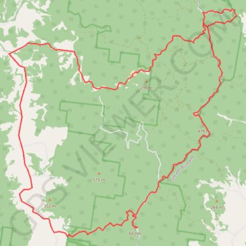
Interactive trail map
Trail profile
- Distance: 43.7 Km
- Elevation gain: 1,472 m
- Maximum elevation: 669 m
- Elevation loss: 1,471 m
- Minimum elevation: 100 m
About this trail
Name: Kluvers Lookout trail, distance, elevation, map, profile, GPS track
Coordinates: -27.20850 152.65092 -27.12525 152.74446
Other hiking, mountain biking, running and outdoor activity trails
Click on a trail to view its statistics, map and profile.