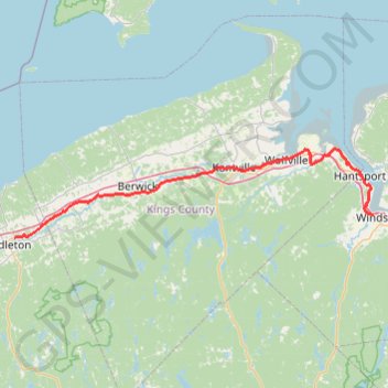
Wilmot - Falmouth
Interactive trail map
Trail profile
- Distance: 90.5 Km
- Elevation gain: 622 m
- Maximum elevation: 63 m
- Elevation loss: 635 m
- Minimum elevation: 3 m
About this trail
Name: Wilmot - Falmouth trail, distance, elevation, map, profile, GPS track
Coordinates: 44.95405 -65.04340 45.11000 -64.14801
Other hiking, mountain biking, running and outdoor activity trails
Click on a trail to view its statistics, map and profile.
Gaspereau River Trail
Canada > Nova Scotia > Municipality of the County of Kings > White Rock
Distance: 8.3 Km • Elevation gain: 211 m • Maximum elevation: 91 m