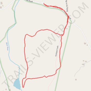
Edge Hill loop walk
- Distance: 2.6 Km
- Elevation gain: 98 m
- Maximum elevation: 397 m
- Elevation loss: 98 m
- Minimum elevation: 312 m
- Moving time: 41 m 34 s
- Moving speed: 3.8 Km/h
- Maximum speed: 6.2 Km/h
- Total time: 41 m 34 s
- Global speed: 3.8 Km/h
Interactive trail map
Trail profile
- Distance: 2.6 Km
- Elevation gain: 98 m
- Maximum elevation: 397 m
- Elevation loss: 98 m
- Minimum elevation: 312 m
- Moving time: 41 m 34 s
- Moving speed: 3.8 Km/h
- Maximum speed: 6.2 Km/h
- Total time: 41 m 34 s
- Global speed: 3.8 Km/h
About this trail
Name: Edge Hill loop walk trail, distance, elevation, map, profile, GPS track
Coordinates: 42.55169 -72.78020 42.55879 -72.77490