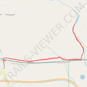
Heflin Spur to old Alabama Power dam
- Distance: 3.8 Km
- Elevation gain: 78 m
- Maximum elevation: 306 m
- Elevation loss: 77 m
- Minimum elevation: 280 m
- Moving time: 57 m 40 s
- Moving speed: 4.0 Km/h
- Maximum speed: 8.0 Km/h
- Total time: 1 h 15 m
- Global speed: 3.0 Km/h
Interactive trail map
Trail profile
- Distance: 3.8 Km
- Elevation gain: 78 m
- Maximum elevation: 306 m
- Elevation loss: 77 m
- Minimum elevation: 280 m
- Moving time: 57 m 40 s
- Moving speed: 4.0 Km/h
- Maximum speed: 8.0 Km/h
- Total time: 1 h 15 m
- Global speed: 3.0 Km/h
About this trail
Name: Heflin Spur to old Alabama Power dam trail, distance, elevation, map, profile, GPS track
Start: County Road 500, Cleburne, Cleburne County, Alabama, United States (33.64867 -85.63145)
End: County Road 500, Cleburne, Cleburne County, Alabama, United States (33.64821 -85.63138)
Coordinates: 33.64821 -85.63149 33.65341 -85.61868