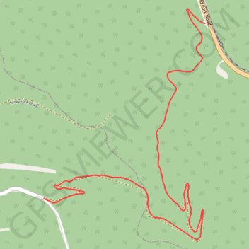
Cooper Harper Road
- Distance: 5.5 Km
- Elevation gain: 368 m
- Maximum elevation: 707 m
- Elevation loss: 229 m
- Minimum elevation: 393 m
- Moving time: 9 m 54 s
- Moving speed: 33.5 Km/h
- Maximum speed: 54.8 Km/h
- Total time: 9 m 54 s
- Global speed: 33.5 Km/h
Interactive trail map
Trail profile
- Distance: 5.5 Km
- Elevation gain: 368 m
- Maximum elevation: 707 m
- Elevation loss: 229 m
- Minimum elevation: 393 m
- Moving time: 9 m 54 s
- Moving speed: 33.5 Km/h
- Maximum speed: 54.8 Km/h
- Total time: 9 m 54 s
- Global speed: 33.5 Km/h
About this trail
Name: Cooper Harper Road trail, distance, elevation, map, profile, GPS track
Start: Cooper Harper Rd, Boone County, West Virginia, United States (37.81898 -81.62603)
End: Cooper Harper Rd, Logan County, West Virginia, United States (37.80609 -81.64111)
Coordinates: 37.80307 -81.64111 37.82003 -81.62603