White Butte Highpoint Trail
Hiking the White Butte Highpoint Trail offers a chance to experience the raw beauty of North Dakota's rugged badlands and rolling prairies. The trail takes you past the iconic white cliffs of the butte, leading to a summit with sweeping views of the surrounding farmland, distant rock formations, and on clear days, even neighboring states. While the trail itself is relatively short, it requires navigating uneven terrain and steep sections, offering a satisfying challenge for those looking to check off North Dakota’s highest point. #Hiking #Overlook #Nature
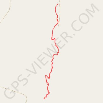
- Distance: 2.6 Km
- Elevation gain: 106 m
- Maximum elevation: 1,063 m
- Elevation loss: 106 m
- Minimum elevation: 961 m
- Moving time: 36 m 9 s
- Moving speed: 4.4 Km/h
- Maximum speed: 11.6 Km/h
- Total time: 1 h 40 s
- Global speed: 2.6 Km/h
Interactive trail map
Trail profile
- Distance: 2.6 Km
- Elevation gain: 106 m
- Maximum elevation: 1,063 m
- Elevation loss: 106 m
- Minimum elevation: 961 m
- Moving time: 36 m 9 s
- Moving speed: 4.4 Km/h
- Maximum speed: 11.6 Km/h
- Total time: 1 h 40 s
- Global speed: 2.6 Km/h
About this trail
Name: White Butte Highpoint Trail trail, distance, elevation, map, profile, GPS track
Start: Slope County, North Dakota, United States (46.39590 -103.30063)
End: Slope County, North Dakota, United States (46.39586 -103.30075)
Coordinates: 46.38706 -103.30256 46.39590 -103.30053
Other hiking, mountain biking, running and outdoor activity trails
Click on a trail to view its statistics, map and profile.
White Butte
United States > North Dakota > Slope County
Distance: 2.8 Km • Elevation gain: 115 m • Maximum elevation: 1,062 m