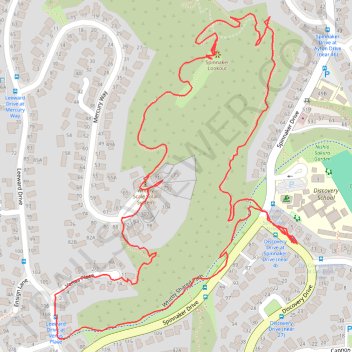
Spinnaker Lookout Loop
- Distance: 2.9 Km
- Elevation gain: 105 m
- Maximum elevation: 113 m
- Elevation loss: 105 m
- Minimum elevation: 37 m
- Moving time: 51 m 42 s
- Moving speed: 3.3 Km/h
- Maximum speed: 14.2 Km/h
- Total time: 1 h 2 m
- Global speed: 2.8 Km/h
Interactive trail map
Trail profile
- Distance: 2.9 Km
- Elevation gain: 105 m
- Maximum elevation: 113 m
- Elevation loss: 105 m
- Minimum elevation: 37 m
- Moving time: 51 m 42 s
- Moving speed: 3.3 Km/h
- Maximum speed: 14.2 Km/h
- Total time: 1 h 2 m
- Global speed: 2.8 Km/h
About this trail
Name: Spinnaker Lookout Loop trail, distance, elevation, map, profile, GPS track
Coordinates: -41.11321 174.88405 -41.10795 174.88925